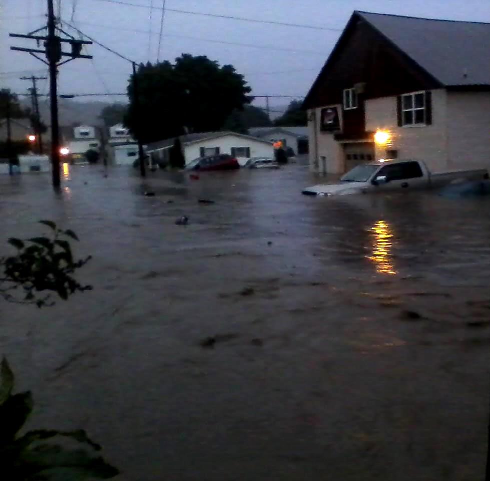
CLEARFIELD – Clearfield residents know first-hand that last week’s flood was one for the record books.
At Thursday’s Clearfield Borough Council work session, Timothy Cooper and Gary Wisor, president and vice-president of Stiffler, McGraw and Associates discussed the facts and figures pertaining to the flooding event in Clearfield June 2.
Wisor said Stiffler, McGraw and Associates gathered information about the rainfall from last week. He said in a 12-hour period, a total of 5.66 inches of rain fell. However, Wisor noted that of that 5.66 inches, about 5.1 inches fell within the space of three hours.
“No matter how you look at it, it was a really, really bad event,” Wisor said. “The concentration of rainfall was in Clearfield proper. A few miles out of the downtown area and there was only about two inches of rain. It was a very intense, very localized storm event.”
Wisor said based on historic rainfall data, the events go “way beyond” what is considered a 100-year storm.
“When designing stormwater systems, we design them based on the data for a 100-year-storm over a 24-hour period,” Wisor said designing a system for an event such as Clearfield experienced is “impractical” because it is such a rare occurrence.
“The eye of the storm just hovered over the (Clearfield-Lawrence) airport and it was not moved at all by the wind,” Wisor said.
Borough Operations Manager Leslie Stott said she had also been researching data regarding storm events in the area. She said the record for rainfall in a single-day for Clearfield County was 4.32 inches in 2004.
Stott said the borough is still working to gather assessments regarding residents with flood damage. She said while it may be unlikely that Clearfield will see any state or federal funding, the borough still wants residents to report any damage from the flood.
Stott said she took the information gathered both at the borough and through the Red Cross and entered the data into a spread sheet. She said the spread sheet was turned over to the County GIS department and it was used to generate a map showing where the impact area of the flooding was.